

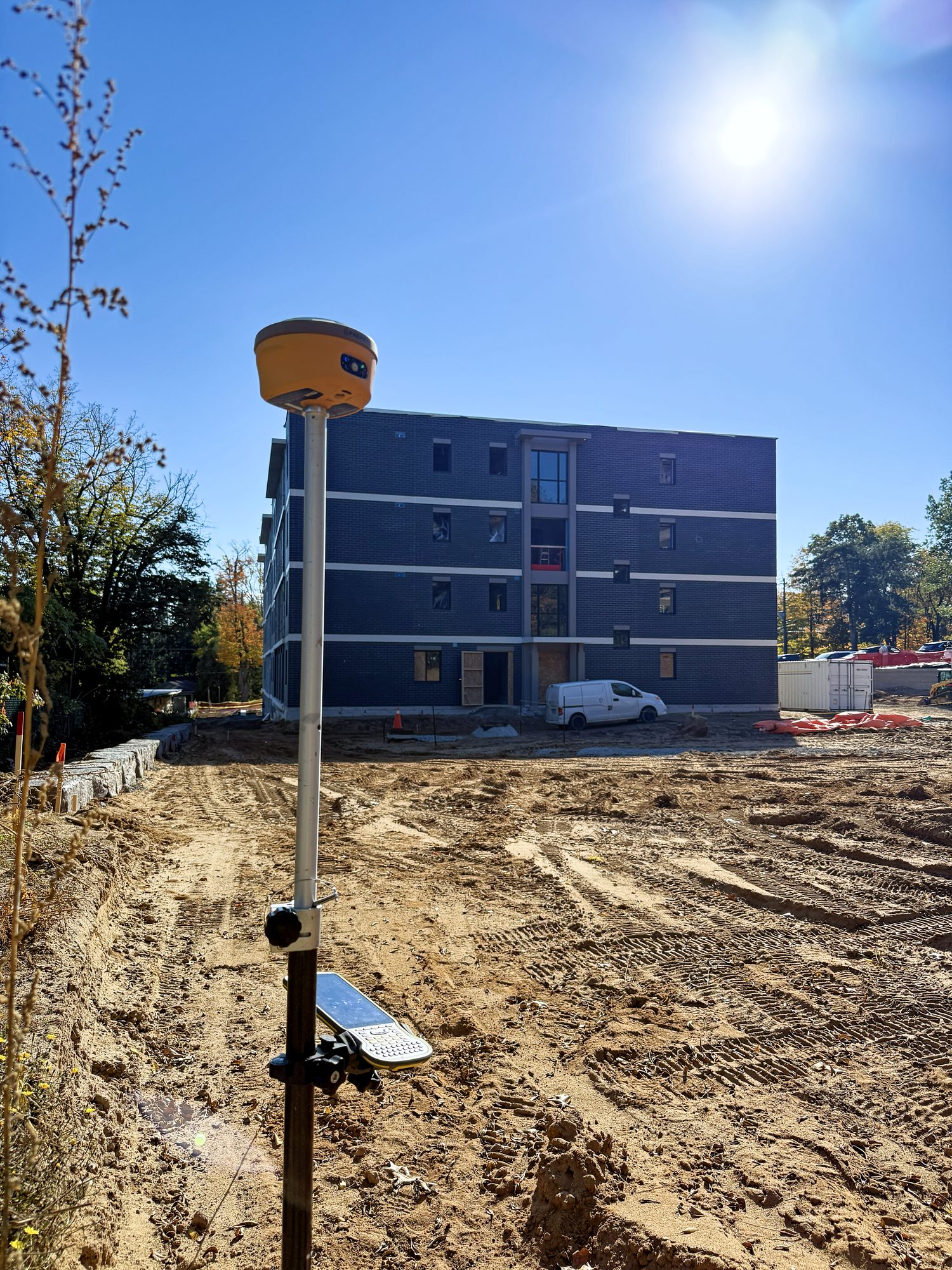
The objective
Lay out a tight site in Pelham, hemmed in by new four-storey buildings, mature trees and overhead lines. That is the kind of sky view that costs a GNSS rover its fix.
Setup
An SP30 base on a tripod and an SP30 rover, staking from the CAD on the Spherefix data collector. The drone flew the site as well.
- SP30Base, on a tripod
- SP30Rover
- CAD on the controllerStakeout source
- DroneFlown over the site as well
What it produced
A fixed solution on every shot, right up against the buildings. The stakeout screen shows 7 mm horizontal and 12 mm vertical estimated precision, tracking more than 30 satellites.


